
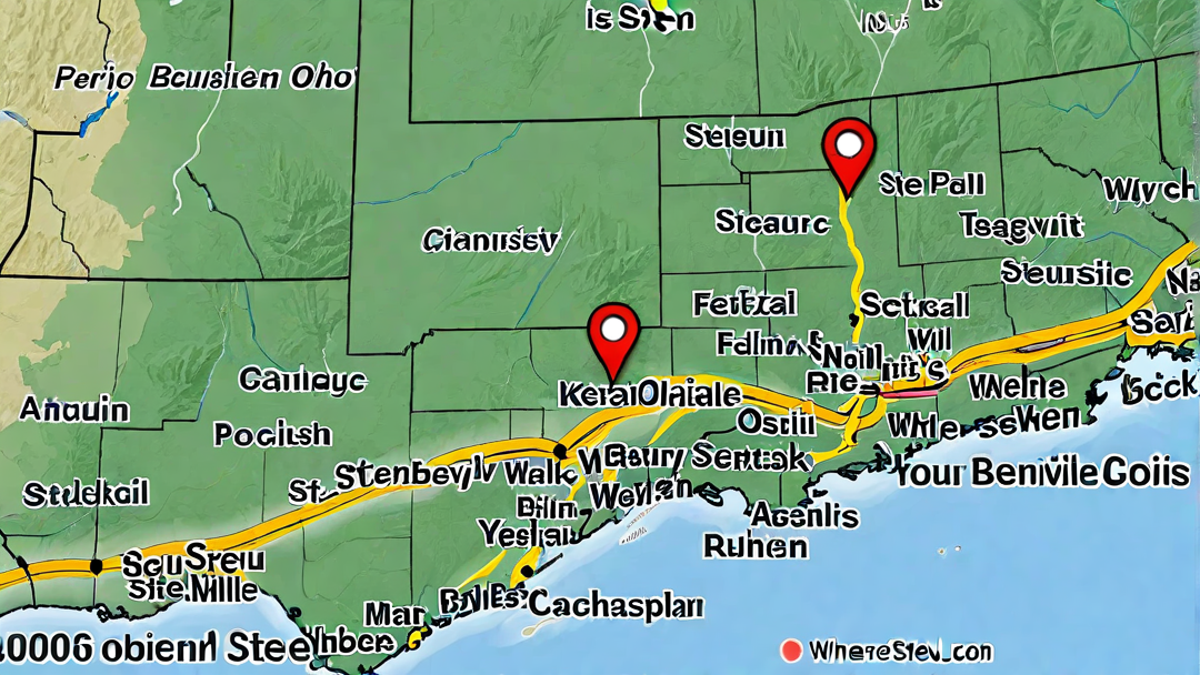
Steubenville, Ohio is a small city that you can find in the eastern part of the state. If you look at a map of Ohio, you would find it along the Ohio River, which is a big river that runs all the way from Pennsylvania to Illinois. Steubenville is pretty close to two other states, West Virginia and Pennsylvania.
On a map, Steubenville is not too far south of a place called Lake Erie, one of the Great Lakes. It’s also near some cities you might know. Pittsburgh in Pennsylvania is to the east, and if you look west, you’ll see Columbus, Ohio. Steubenville sits right between them, but it is closer to Pittsburgh.
If you’re looking at the map and you see where Ohio and West Virginia meet, Steubenville is right across the river from a town in West Virginia called Weirton. And just a little bit to the south of Steubenville on the map, you’ll find another West Virginia city named Wheeling. These places are neighbors and a lot of people go back and forth between them for work, school, or shopping.
Location and Geography
When you’re trying to find Steubenville, look for the squiggly blue line of the Ohio River. Steubenville is right on the edge of this river. The river helps form the border between Ohio and West Virginia.
The city is in an area called the Ohio Valley. In the old days, the valley was super important for transportation. Boats would float down the river carrying all sorts of goods. Today, people still use the river but there are also roads and bridges that connect Steubenville with places like Weirton and Wheeling.
Steubenville has hills around it because it’s near the start of the Appalachian Mountains. These mountains stretch all the way down the United States. If you’re ever in the city, you’ll notice the city streets go up and down because of the hills.
Steubenville’s Position in Ohio
When you find Steubenville on a map, you’ll see it’s part of a region known as the Ohio Valley. This area has lots of hills and is really green, especially in the spring and summer. The Ohio River helps make the soil good for growing plants.
The land around Steubenville has many different shapes. There are flat areas called plains, and there are also tall parts called hills. The Ohio River has shaped a lot of the land here. It’s been very important for the city’s history and how it grew.
People also talk about Steubenville being part of the Rust Belt. This name comes from how many factories there used to be. These factories made metal and other things, but many are closed now. The Rust Belt includes parts of Ohio, Pennsylvania, and other states around the Great Lakes.
Proximity to Major Cities
Steubenville is in the state of Ohio, right on the eastern edge, close to Pennsylvania and West Virginia. When you look at a map, you’ll see it’s not too far from other cities like Wheeling in West Virginia and Weirton in Ohio.
It’s not just anywhere in Ohio though, Steubenville is in a county called Jefferson. This spot is pretty special because it’s by the Ohio River which is a big, winding river that many towns and cities are built around.
If you were to drive there, it would take about an hour from Pittsburgh, Pennsylvania. That’s like watching four episodes of your favorite 15-minute cartoon! And if you started in Columbus, Ohio, it would be about a two-and-a-half-hour drive.
Historical Significance
Steubenville is known for its history. Long ago, it was a busy place where people made things like steel. This steel helped build America, from cars to bridges!
Famous people have lived in Steubenville. One of them was Dean Martin, a singer, and actor. You might have heard your grandparents play his music!
The city celebrates its past with a big festival every summer. It’s called the Dean Martin Festival, and people come to enjoy music, food, and fun in honor of the star.
Steubenville has been around for a long time. It was set up way back in 1797. That’s over 200 years ago! Imagine all the stories the city has from all those years.
The town also has important old buildings. One of them is called Fort Steuben, built to protect people in the old days. Now it’s a place where you can see what life was like long ago.
When you’re on the map looking at Steubenville, you’re seeing a place full of stories. It’s not just a spot on the map; it’s a place where people have lived, worked, and played for a very long time.
Steubenville in American History
Steubenville, Ohio has a cool history that goes way back. It was founded in 1797, which is a really long time ago! People have been living and working there for over 200 years.
One of the neat things about Steubenville is that it’s called the “City of Murals.” There are big paintings on buildings all over downtown. These paintings show different parts of Steubenville’s history, like famous people from there and big moments in time.
A famous person from Steubenville is Dean Martin. He was a big-time singer and actor. Steubenville celebrates him with a festival every year, and people come from all over to remember him and have fun.
The city is also where the first Federal Land Office in the northwest territory was set up. This was where people went to buy land way back in the old days. That was really important because it helped the area grow with more people and houses.
Notable landmarks
Steubenville is near the Ohio River, which was like a giant highway back in the old days. People and goods traveled on the river, and Steubenville was a busy stop. That’s why it got so big and important.
The city was part of the Underground Railroad too. That was a secret network that helped slaves escape to freedom. Houses in Steubenville would hide them and help them stay safe on their journey.
In the Civil War, Steubenville was a big deal because it made a lot of the iron used in cannons and ships. This helped the North a lot in the war.
When you look at Steubenville on the map, it’s not just a spot. It’s a place with a story, where big things happened, and people worked hard to make their lives and their country better.
Steubenville and Its Neighboring Cities
On the map, Steubenville is snug right along the edge of Ohio’s eastern border. If you look, you’ll find it close to two other cities. They’re like neighbors who share a backyard.
Wheeling, WV, is one of those neighbors. It’s just a 30-minute drive from Steubenville if you head west. Folks sometimes go there to shop or visit the cool museums.
Another neighbor is Weirton, WV. It’s really close, about 10 minutes north. Weirton’s got parks and places to have fun outside. It’s like Steubenville’s quieter friend.
All these cities hang out along the Ohio River. It’s like a ribbon tying them together. They’ve been friends for a long, long time, back from when trains and boats were the best way to travel.
Do you know that Steubenville is sort of famous for Dean Martin? He was a big-time singer and actor. He grew up there! Sometimes there’s a festival for him, and people come to celebrate.
So, when you’re looking at Steubenville on a map, remember: It’s not alone. It’s part of a neighborhood with Wheeling and Weirton. They’re like a family, with lots of history and fun times shared.
Relation with Wheeling, WV
If you find Steubenville, Ohio on a map, you’ll see it’s not alone. Right up the river, there’s a city called Weirton in West Virginia. It’s super close, like less than half an hour by car!
Then there’s Wheeling, West Virginia. It’s on the other side of the river from Ohio. You can get there from Steubenville in about 20 minutes if you drive fast (but safely!).
All these cities are like neighbors. They sit along the Ohio River, which ties them together. They share a lot of history and fun places to visit too.
People move between these cities for work or school. Some might live in one city and go to another just to eat out or see a movie. It’s like they’re a big family.
Steubenville is special because it’s right on the state line. It’s like the front door to Ohio if you’re coming from West Virginia.
Relation with Weirton, WV
Steubenville, Ohio sits in a neat spot on the Ohio River. This river is a big deal because it marks the line between Ohio and West Virginia. So, Steubenville has friends on both sides.
Weirton, West Virginia is one of those friends. It’s super close, you could even pop over for lunch! Weirton is just up the river, and you can see it from Steubenville.
Wheeling, West Virginia is another neighbor. It’s a bit farther than Weirton but still really close. If you hop in a car, you’ll be there in no time. And like Weirton, you can see the river from Wheeling too.
Being so close, Steubenville, Weirton, and Wheeling share cool stuff. They have parks and museums where you can learn and play. The river brings them together and gives people chances to do fun things like boating and fishing.
So, if you look at Steubenville on a map, remember it’s part of a bigger group of cities. They hang out right next to each other, with the Ohio River waving at them all.
Conclusion
Now you know, Steubenville is not alone on the map. It’s got neighbors that are pretty awesome too.
Maps are super handy. They help us see where places are and how to get there. When you look at a map, you can spot Steubenville on the Ohio side of the river.
And don’t forget about Weirton and Wheeling! They are like Steubenville’s buddies in West Virginia. All three cities share the Ohio River like a big, watery backyard.
So, Steubenville, Ohio is more than just a dot on the map. It’s part of a friendly neighborhood with Weirton and Wheeling. The Ohio River ties them all together.
Remember this the next time you’re looking at a map or planning a trip. Steubenville and its friends are waiting to say hi!